Comprised of five picturesque coastal towns, Cinque Terre is one of the most popular places in the Italian Riviera due to its stunning beauty. And what better way to go from town to town than to hike between them? Here’s what you need to know about the different Cinque Terre Hiking trails.
Hiking the Cinque Terre involves one major overarching trail, which can be broken down into four smaller legs of the trip. The full trail is known as the Blue Trail, and it connects the five Cinque Terre towns, running from Riomaggiore to Monterosso. Hiking the trail in its entirety (just under 7 miles) will take most people around 5 hours or so, and that doesn’t include stopping in any of the towns and exploring.
List of Hiking Trails
| Trail Name | Description | Length | Difficulty |
|---|---|---|---|
| Sentiero Azzurro (Blue Trail) | The most popular trail connecting all five villages, with four sections: Riomaggiore to Manarola (Via dell’Amore), Manarola to Corniglia, Corniglia to Vernazza, and Vernazza to Monterosso al Mare. | 11 km (6.8 miles) | Easy to moderate |
| Sentiero Rosso (Red Trail) | A more challenging high route that connects all five villages, offering panoramic views of the coastline. | 35 km (21.7 miles) | Moderate to difficult |
| Sanctuary Trails | A network of trails connecting the five villages to their respective religious sanctuaries, such as the Madonna di Montenero in Riomaggiore and the Madonna di Reggio in Vernazza. | Varies | Moderate |
| Sentiero SVA (ex. n.1) | An alternative route connecting Riomaggiore to Portovenere, passing through the villages of Campiglia and Telegrafo. | 13 km (8 miles) | Moderate |
| Sentiero 531 | A trail connecting Riomaggiore to the hilltop village of Volastra, offering views of the terraced vineyards and the sea. | 1.5 km (0.9 miles) | Moderate |
| Sentiero 506 | A trail connecting Volastra to Corniglia, passing through olive groves and vineyards. | 2.5 km (1.5 miles) | Moderate |
| Sentiero 587 | A trail connecting Monterosso al Mare to the sanctuary of Nostra Signora di Soviore. | 2.3 km (1.4 miles) | Moderate |
But we think it’s a much better overall experience if you take it leg by leg and enjoy your time in each of the charming towns. They all have something different to offer and are worth experiencing in their rights. That said, we’ll break up the Blue Trail into its four smaller legs, connecting each town to the one next to it.
Different Legs of the Hikes
For each leg of the hike, we’ll give you a rundown of the distance and difficulty, as well as an idea of what you can expect to see along the way. Remember that you’ll also need a ticket for each leg, or you can buy one that’s good for the entire trail length. These legs are broken up as follows:
- Riomaggiore to Manarola
- Manarola to Corniglia
- Corniglia to Vernazza
- Vernazza to Monterosso
Riomaggiore to Manarola
Difficulty: Easy*
Distance: <1 mile*
Time: ½ hour*
What to do in Riomaggiore Before you Leave
You can start from either the Blue Trail’s end— here in Riomaggiore or at the other end in Monterosso. But we recommend you start in Riomaggiore so that you can relax at the beaches in Monterosso after a long day of hiking! Do it whichever way you prefer, but that’s our favorite way of hiking Cinque Terre.
But before you depart, enjoy some of what Riomaggiore has to offer. As you’ll come to see during your hiking adventure, all the towns of Cinque Terre can realistically be explored in just 30-60 minutes, but it’s worth doing so. You never know what you’ll find wandering through these interesting little towns.
Overview of the Hike
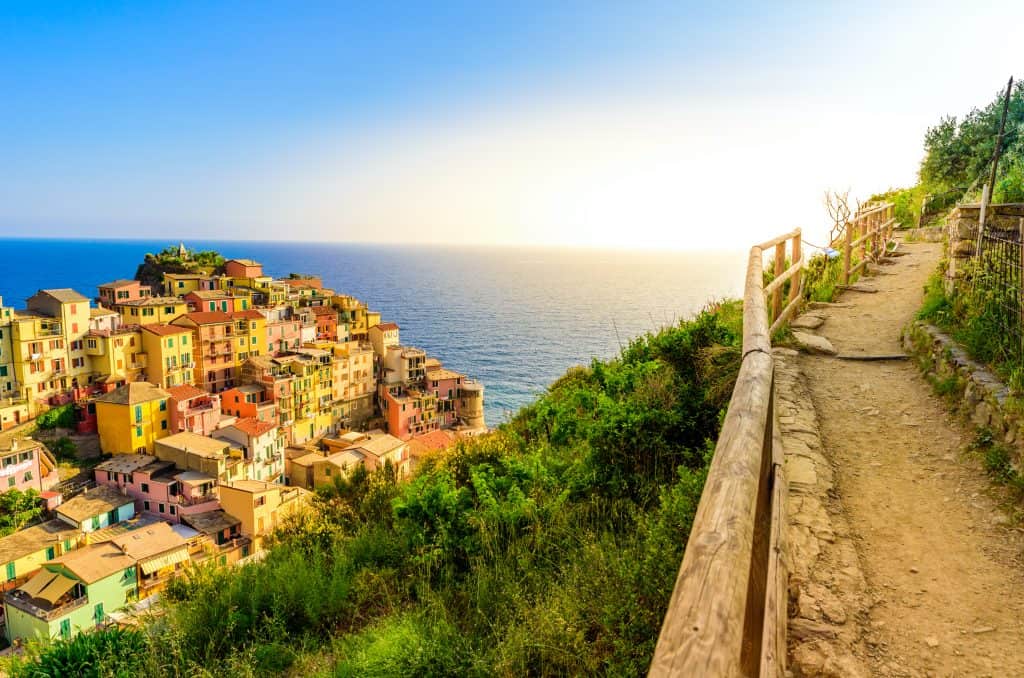
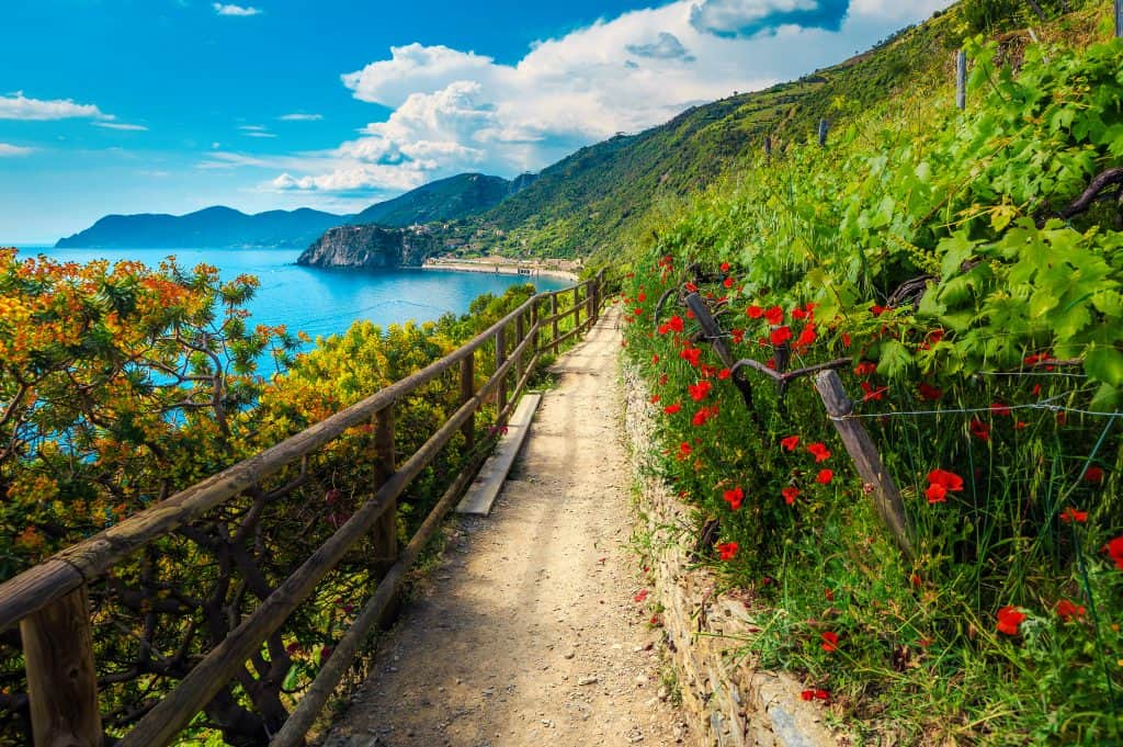
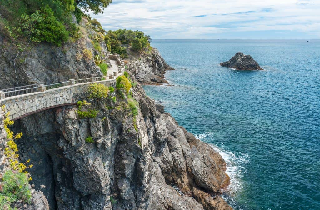
The main trail that takes you from Riomaggiore to Manarola is Via dell’Amore or Lover’s Lane. As that name might suggest, it isn’t a very physically challenging trail and is more of a simple, flat walk between the two towns.
The only hitch is that the trail is sometimes closed, especially after heavy rains, due to landslides. Assuming the trail is open, you’ll be treated to a simple trek with your loved one or family, and it’ll only take about 30 minutes to reach Manarola.
*But if you get unlucky and the day you’re hiking the Cinque Terre, Via dell’Amore happens to be closed, then this first leg of the trip will suddenly get much more difficult. You’ll have three options: not hike at all, wait for the train to Manarola, or tough it out and take the more challenging trail known as the high route. As the name implies, the high route will take you above the area and to nearby Manarola.
If you must take the high route, be prepared for a longer, more strenuous hike. Consisting of steep climbs and a longer route, you will end up eclipsing the 1 mile (and 1-hour mark), and we’d raise the difficulty level up to moderate. But it’s not all bad, since the high route will offer you better views than you would ever dream of getting on the standard route.
Manarola to Corniglia
Difficulty: Easy
Distance: 1.8 miles
Time: 1 hour
What to do in Manarola Before you Leave
Once you arrive in Manarola, no matter which trail you took or if you waited for the train, well done! You’ve made it to the second of the five towns, and you should reward yourself with a bit of exploration and fun. Although the main focus of your day might be on hiking and reaching the relaxing beaches in Monterosso at the end, that doesn’t mean you should skip out on enjoying each of the five towns. So while you’re there, be sure to spend some time walking around, exploring Manarola, and taking it all in.
Overview of the Hike
Unfortunately, similarly to the first leg of the trail, the trail from Manarola to Corniglia is often closed due to landslides. In fact, this leg of the trail closed in 2010 due to the massive landslides in the area but was planned to be opened a whopping five years later in 2015. But as the reopening approached, heavy rains led to yet another closure. As of 2021, this leg of the trail is set to reopen in April (of 2021).
That said, if it is closed during your visit, you will again have the option of climbing up and around the regular trail with another high route of sorts, but we will proceed under the assumption that the standard trail route will be open. And if it is, don’t underestimate this leg of the trip, it’s much more demanding than the Lover’s Lane that got you to Manarola, but it’s more than doable for most people.
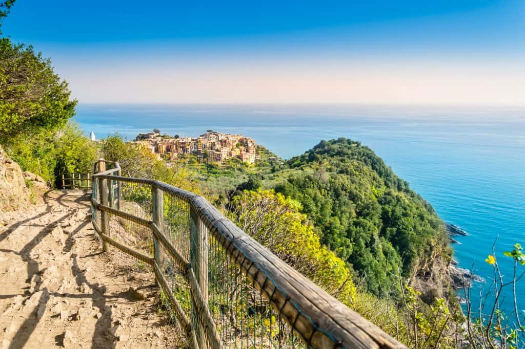
The trail starts in Manarola and heads up and into the hills above the city. While walking, take some time to look out at the panoramic views of the town and the rest of Cinque Terre, as the views that you get truly are stunning. You’ll walk right along the edge of the water, skirting the face of a cliff as you head towards Corniglia up in the hills. When you get close to Corniglia, you’ll need to ascend 382 steps to finish the trail, so be ready for that. It’s tiring but well worth the effort. Welcome to Corniglia!
Corniglia to Vernazza
Difficulty: Moderate
Distance: 2.5 miles
Time: 1 ½ hours
What to do in Corniglia Before you Leave
As you can imagine from the 382-ascension we just mentioned, Corniglia is built high up in the hills and mountains of Cinque Terre, looking over the coast and offering views of the water as far as the eye can see. You may or may not want to spend some time exploring Corniglia, but at the very least, take some time to catch your breath and get yourself rehydrated. The next leg of the trip is the longest yet, so get ready before you head out.
In Corniglia, you might want to spend a little bit of time exploring parts of the town and seeing what’s there. And if so, you might just be in for a treat. In Corniglia, you can spend time walking the narrow streets and grabbing a quick snack from one of the many cafes and vendors that you’ll find.
Overview of the Hike
As mentioned above, the leg of the trail that takes you from Corniglia to Vernazza is the longest of the trip, clocking in at 2.5 miles and likely to take between 1 ½ to 2 hours to make. But unlike the previous two, this portion of the trail is almost never closed due to its high location up in the hills and mountains.
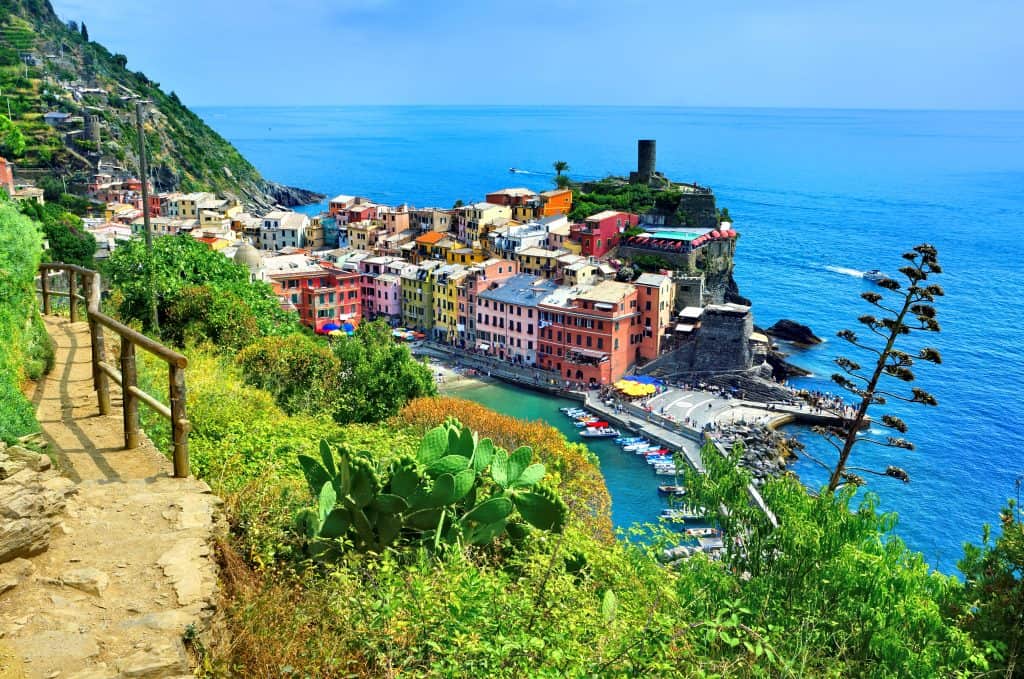
And although this is the longest part of the trail, it also offers some of the best views of anywhere in Cinque Terre. But the hike can be strenuous, taking you through the mountains along rocky paths and countless steps, both up and down. Keep in mind that if you’re making the hike during Italy’s hot summer months, then you’ll really start feeling that heat during this part of the hike. So make sure you have plenty of water and take breaks as needed.
But don’t worry about making time for the breaks because you’ll be wanting to stop quite often along the way because of all the incredible views that you’ll be able to enjoy. Stop as you walk towards Vernazza as often as you want. Check out the breathtaking views of the coast and the rest of Cinque Terre. Or peer out into the endless blue waters as far as you can see. The vistas you get from this leg of the trail are unforgettable.
Vernazza to Monterosso
Difficulty: Moderate to Experienced
Distance: 2.2 miles
Time: 1 ½ hour
What to do in Vernazza Before you Leave
Not only is the trail leading to Vernazza the most beautiful leg of the walk, but Vernazza itself is also the most beautiful town of all five that make up Cinque Terre. As such, you can expect to find vast crowds in Vernazza no matter what time of year you travel, and especially if it’s during the high travel season of summer. Like the other towns of Cinque Terre, Vernazza can be explored in under an hour, but it’s worth taking the time to do so if the crowds aren’t too bad.
If you decide to spend some time in Vernazza, we suggest just walking up and down the streets and seeing if anything catches your eye. Like the other towns of Cinque Terre, there aren’t too many attractions that demand your attention, but the gelato of Vernazza is world-famous. And what better way to cool down after that last leg of your hike than some authentic gelato?
Overview of the Hike
Ah, the last leg of your journey. It’s been a long trip up to this point, but the relaxing beaches of Monterosso are just one more hike away. The only issue is that this final portion is also the most difficult to traverse and make your way through. That’s why it just edges out the last leg, and we have it rated as Moderate to Experienced rather than Moderate. But it isn’t so hard that you won’t be able to complete it, you’ll just need to expend some effort doing so.
By this point, you’ll have an idea of what to expect — more of the same strenuous walk through the mountains, up and down quite a few stairs, and along the dusty paths. But it’s just a tick harder than the previous sections. Don’t let the difficulty scare you away though. The views you get along this last leg of the hike are almost as stunning as when you were headed to Vernazza, and those beaches are just so close!
Read Also: The Ultimate Guide to Hiking in the Dolomites
What to do in Monterosso Once you Arrive
You made it! You’ve finished all 7 miles of the Cinque Terre trail and have arrived in Monterosso. Congratulations are in order, so well done!
While it’s a hike that most people can do, it’s one that many people give up as they go. Interestingly, the first leg of the trip, Lover’s Lane, is the most-traveled portion, followed by the second leg heading to Corniglia. The trend continues from there, with fewer and fewer people moving on to the next leg and instead choosing a different mode of travel such as the train. But even if you did take the train for any portion — and we wouldn’t blame you — you’ve made it to Monterosso at long last.
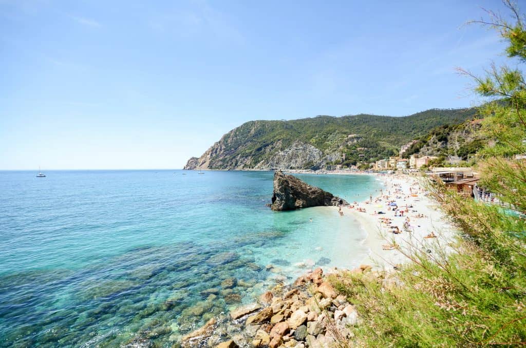
Once there, you’ll want to grab something to eat and then make your way to the beach we’ve been raving about. Our favorite spot to relax after the long hike is Stella Marina Beach. With your fresh seafood dinner and delicious wine in hand, watch the sunset over Punta Mesco in the distance while you relax on the soft sand beach of Stella Marina. The perfect end to an incredible hike.
Related Resources

0 Comment